Science Source
A Reconciled Estimate of Ice-Sheet Mass Balance
- Combines an ensemble of satellite altimetry, interferometry, and gravimetry data sets using common geographical regions, time intervals, and models of surface mass balance and glacial isostatic adjustment to estimate the mass balance of Earth’s polar ice sheets
- Finds that there is good agreement between different satellite methods—especially in Greenland and West Antarctica—and that combining satellite data sets leads to greater certainty
- Finds that between 1992 and 2011, the ice sheets of Greenland, East Antarctica, West Antarctica, and the Antarctic Peninsula changed in mass by –142 ± 49, +14 ± 43, –65 ± 26, and –20 ± 14 gigatonnes year−1, respectively
- Finds that, since 1992, the polar ice sheets have contributed, on average, 0.59 ± 0.20 millimeter year−1 to the rate of global sea-level rise
Related Content
Headline

Jan 29, 2020 | BBC News
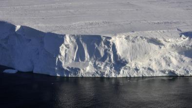
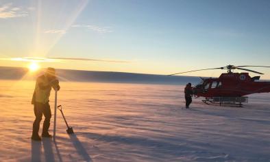
Journey to the 'doomsday glacier'
Headline

Nov 22, 2019 | NOAA Climate.gov
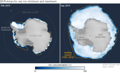
Understanding climate: Antarctic sea ice extent
Headline

Mar 26, 2019 | The Guardian
Australian researchers find huge lakes beneath largest east Antarctic glacier
Science Source
| Geophysical Research Letters
Mass Loss of Totten and Moscow University Glaciers, East Antarctica, Using Regionally Optimized GRACE Mascons
Yara Mohajerani, Isabella Velicogna, Eric Rignot


