Another storm for rain-weary California this week, then a break, then…yet more storms to come.

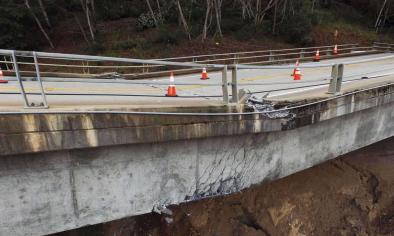
An intense atmospheric river brought widespread heavy rain and strong winds to much of NorCal early this morning [February 7], causing widespread flooding of streams, smaller rivers, and coastal areas (especially near the Bay Area). Observed flooding and other storm impacts were more severe than initially anticipated–partly because the frontal structure (and therefore rainfall rates) were a bit more impressive than expected, but also because soils throughout the region have now reached total saturation (and, in some cases, “supersaturation”). Thus, virtually all rainfall at this point is generating rapid runoff and flowing into bodies of water that are already experiencing residually high flows. Additionally, the threat of both smaller mudslides and deeper landslides is now quite high across much of California–as evidenced by numerous road closures in recent days.
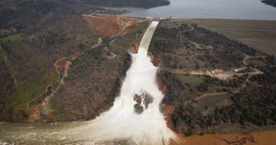
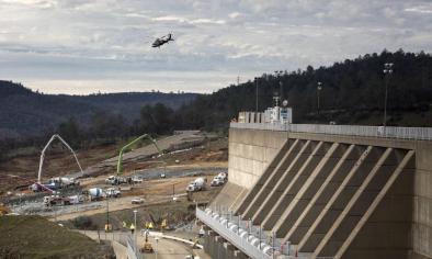
After one of the wettest starts to the rainy season on record, California’s water capture and conveyance infrastructure is now under considerable strain. In addition to the longstanding threat of levee failures in the Delta (and elsewhere) under high flow conditions, the concrete spillway on the Oroville Dam in Butte County has apparently been compromised by erosion due to controlled high-flow releases this morning. While this damage doesnot threaten the integrity of the dam itself, the spillway is currently unusable–which prevents dam operators from releasing enough water to counterbalance the very high inflows that are expected to continue for at least the next 72 hours. The California Department of Water Resources is confident that existing contingency measures will be sufficient to prevent bigger problems in the short term, but with more heavy precipitation on the horizon in the 7-10+ day period, this will be a development to watch closely in the coming days.
Related Content


