Storms Could Signify Changing Climate In California
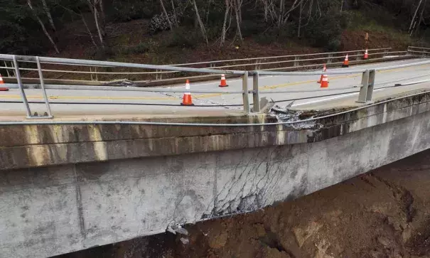
As spring arrives in California, scientists and public officials are taking stock of a stormy winter that eased the state’s five-year drought but exposed the vulnerability to age and climate change of the Golden State’s dams, levees, and bridges.
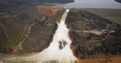
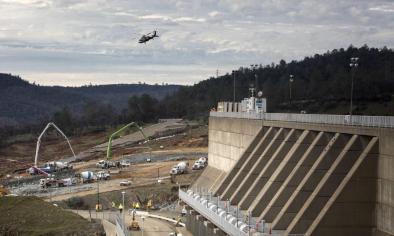
Calamity was narrowly avoided in February north of Sacramento when the 770-foot high Oroville Dam, the nation’s tallest, filled and water was diverted into an emergency spillway because the main spillway was damaged. Nearly 200,000 people downstream from the dam were evacuated at the height of the crisis.
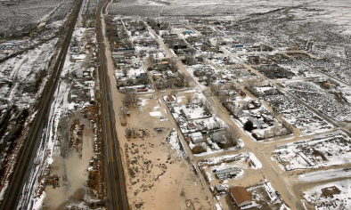
There were other danger points in California’s wettest winter of modern times. Overall, flooding caused $1 billion in damage, according to state officials. More than 14,000 San Jose residents were evacuated and hundreds lost their homes when a debris-clogged creek overflowed. Huge chunks of levees were ripped loose along the Sacramento Delta. Near Big Sur, cracks in the Pfeifer Canyon Bridge forced closure of the scenic Pacific Coast highway. The bridge will be demolished and the highway closed for up to a year.
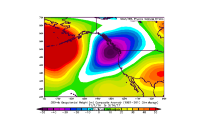
California is no stranger to abnormal weather cycles, but some scientists say conditions are becoming worse. “We’re seeing...emergence of a climate characterized by greater frequency of warm dry conditions punctuated by extremely wet conditions,” said Noah Diffenbaugh, a climate expert at the Stanford Woods Institute for the Environment.
A new climate plus old dams is a risky combination. As New York Times columnist Timothy Egan puts it, “yesterday’s dams are trying to hold back tomorrow’s climate.” Nor is it just the dams that are outdated. Much of U.S. infrastructure was “built for the past,” says Juliet Christian-Smith, a climate scientist with the Union of Concerned Scientists.
Related Content
