Hurricane Warnings in Belize, Honduras, and Mexico for Earl
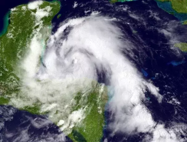
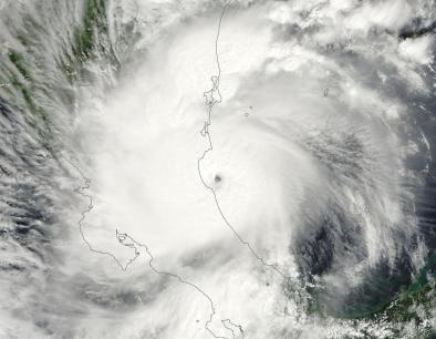
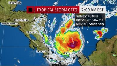
Earl has favorable atmospheric and oceanic conditions for intensification: light to moderate wind shear of 5 - 15 knots, and very warm ocean waters near 30°C (86°F). These warm waters extend to great depth, providing plenty of fuel to power intensification of the storm. Typically, storms that approach landfall begin to undergo interaction with land that causes a slowdown in intensification or weakening. However, storms in the Western Caribbean often undergo intensification right up until landfall, due to the extremely warm waters with high heat content that lie along the coast. The topography of the coast in the right-angle bend between Belize, Guatemala, and Honduras may also act to aid intensification by giving storms more spin, as air gets deflected into a counter-clockwise motion by the high terrain ringing the ocean.
...
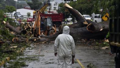
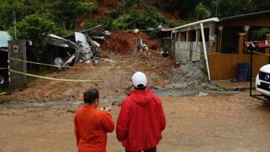
The main concern from Earl is its heavy rains. With rainfall amounts in excess of 8" expected over a swath of northern Honduras, northern Guatemala, most of Belize, and a chunk of Mexico, expect life-threatening flash floods and landslides. The storm's 4 - 6' storm surge will cause additional flooding along the coast near and to the right of where the center hits in Belize
Related Content
