Tropical Storm Earl Forms in Caribbean
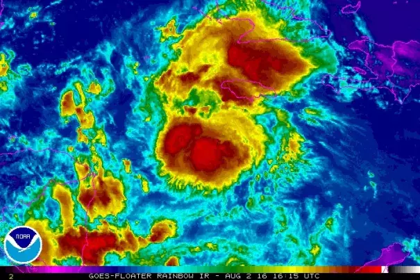
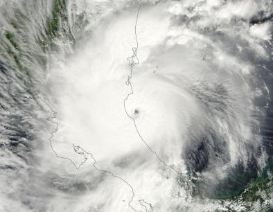
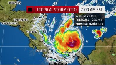
In an special update issued at noon EDT Tuesday, the National Hurricane Center placed the center of newly christened Earl about 535 miles east of Belize City, Belize, with top sustained surface winds of 45 mph. Carrying a large though somewhat disorganized assortment of showers and thunderstorms (convection), Earl was moving westward at 22 mph, a pace expected to slow over the next 24-48 hours as Earl approaches Belize and the Yucatan Peninsula. Even before Earl’s designation as a tropical storm, high winds in the Dominican Republic brought power lines down and sparked a fire aboard a bus, killing 6 and injuring 12 people.
...
[S]ea-surface temperatures are more than 1°C above average over the northwestern Caribbean, and Earl’s path will put it on the south edge of an area of of extremely high oceanic heat content that covers most of the northwest Caribbean. These waters would support rapid intensification if other conditions were favorable, although Earl may not be well enough organized to take full advantage of this oceanic rocket fuel
Related Content
