Science Source
Stream flow in Minnesota: Indicator of climate change
- Studies stream flow records (up to the year 2002) from 36 USGS gauging stations in five major river basins of Minnesota
- Finds that trends differed significantly from one river basin to another, and became more accentuated for shorter time windows
- Detects periodicity in the trends for the Red River of the North, the Mississippi River, and the Minnesota River basins for six of the statistics studied
- Finds that peak flow due to snowmelt, typically the highest flow in each year, appears to be the only streamflow statistic that has not changed at a significant rate
- Finds that peak flows due to rainfall events in the summer are increasing, as well as the number of days with higher flows (high flow days)
- Finds that increases in low flow (base flow) in summer and in winter have been significant
- Finds that wetter summers and more frequent snow melt events due to warmer winters are the likely cause
- Concludes that stream flows in Minnesota reflect observed changes in precipitation with increases in mean annual precipitation, a larger number of intense rainfall events, more days with precipitation and earlier and more frequent snowmelt events
Related Content
Headline

Mar 25, 2019 | U.S.
Floods shut nearly a sixth of U.S. ethanol production
Headline

Mar 22, 2019 | The Weather Channel
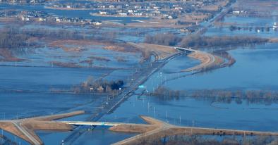
Record Flooding in Nebraska, Iowa, South Dakota, Wisconsin, Minnesota and Illinois Follows Snowmelt, Bomb Cyclone
Headline

Mar 22, 2019 | New York Times
Why Is There Flooding in Nebraska, South Dakota, Iowa and Wisconsin?
Science Source
| Journal of Climate
The Effect of Global Warming on Severe Thunderstorms in the United States


