Science Source
Climate and wildfire area burned in western U.S. ecoprovinces, 1916–2003
- Quantifies climatic controls on the area burned by fire in different vegetation types in the western United States
- Demonstrates that wildfire area burned (WFAB) in the American West was controlled by climate during the 20th century (1916–2003)
- Finds mountainous ecoprovinces exhibit strong year-of-fire relationships with low precipitation, low Palmer drought severity index (PDSI), and high temperature. Grass- and shrub-dominated ecoprovinces had positive relationships with antecedent precipitation or PDSI
- Finds that for 1977–2003, a few climate variables explain 33–87% (mean = 64%) of WFAB, indicating strong linkages between climate and area burned
- Finds that for 1916–2003, the relationships are weaker, but climate explained 25–57% (mean = 39%) of the variability
- Holds that the importance of antecedent climate (summer drought in forested ecosystems and antecedent winter precipitation in shrub and grassland ecosystems) indicates that the mechanism behind the observed fire–climate relationships is climatic preconditioning of large areas of low fuel moisture via drying of existing fuels or fuel production and drying
- States that despite the possible influence of fire suppression, exclusion, and fuel treatment, WFAB is still substantially controlled by climate
Related Content
Headline

Aug 22, 2016 | The Weather Channel
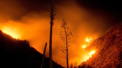
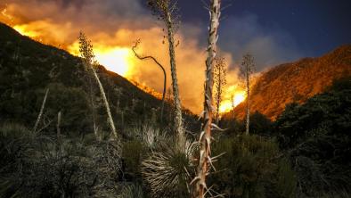
Firefighters Have a Strong Hold On California's Blue Cut Fire, Which Has Destroyed Dozens of Homes, Officials Say
Headline

Aug 22, 2016 | NPR
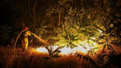
Firefighters Gain Ground On California's Blue Cut Wildfire
Headline

Aug 19, 2016 | Los Angeles Times
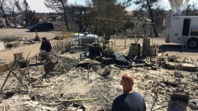
96 homes, 213 other buildings destroyed in massive Blue Cut fire
Headline

Aug 19, 2016 | Los Angeles Times
Raging Blue Cut fire leaves some homes in smoldering ruins, but scope of loss still a mystery


