Plains Drenching Could Boost Number of U.S. River Locations in Flood to Near 400

- Flooding rain in parts of the Plains is the latest round of a siege of heavy rain events this spring.
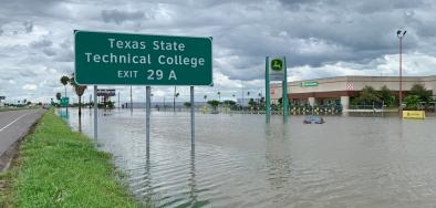
- Earlier this month, torrential rain triggered serious flooding in parts of Texas, Louisiana and Mississippi.
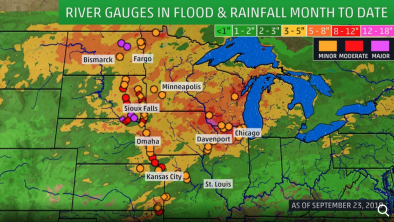
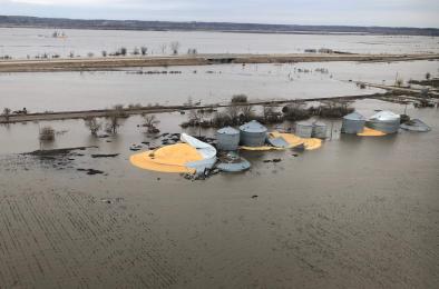
- Flooding in the Mississippi Valley and northern Plains also continues from heavy spring rain and earlier snowmelt.
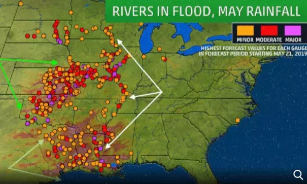
- Taken together, almost 400 locations could be above flood stage by later this week.
The number of locations along rivers in the United States expected to experience some level of flooding by the end of the week is expected to swell to almost 400 after another round of torrential rain only worsened flooding brought on by a soggy May, spring and excessive snow melt.
Parts of Kansas, Oklahoma and Missouri picked up 4 to 9 inches of rain from this latest drenching. Water rose quickly, trapping people in homes and vehicles, forcing dramatic rescues and evacuations and even flooding a stretch of Interstate 40 west of Oklahoma City.
Record flooding was measured on Bird Creek in Avant, Oklahoma, and the Chikaskia Rivernear Blackwell, Oklahoma, crested near its 2008 record for the second time in two weeks.
...
As of May 21, the National Weather Service River Forecast Center predicted just under 400 locations with gauges along rivers in the U.S. would experience some level of flooding by later in the week, covering an impressive area from the northern Plains and upper Midwest to the Gulf Coast.
This massive number, which includes areas already reporting flooding right now, comprises just under 18% of all U.S. Geological Survey river gauges for which forecasts are currently issued by the NWS.
Related Content


