Science Source
Has the magnitude of floods across the USA changed with global CO2 levels?
- Explores statistical relationships between annual floods at 200 long-term (85–127 years of record) streamgauges in the coterminous United States and the global mean carbon dioxide concentration (GMCO2) record
- States that the streamgauge locations are limited to those with little or no regulation or urban development
- Divides the coterminous US into four large regions and uses stationary bootstrapping to evaluate if the patterns of these statistical associations are significantly different from what would be expected under the null hypothesis that flood magnitudes are independent of GMCO2
- Finds that in none of the four regions defined in this study is there strong statistical evidence for flood magnitudes increasing with increasing GMCO2
- Finds that in one region, the southwest, there is a statistically significant negative relationship between GMCO2 and flood magnitudes
Related Content
Headline

Feb 28, 2020 | Los Angeles Times
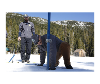
California snowpack depleted amid what could be a record-dry February
Headline

Feb 10, 2020 | Weather Underground
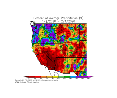
Recent Winter Weather Pattern Is Concerning in Parts of the Lower 48
Headline

Feb 3, 2020 | California Weather Blog
Warm and dry, then cool (and still dry), heading into February
Headline

Nov 19, 2019 | The Weather Channel
8 Reasons Why Rain Is a Big Deal in Southern California


