Extreme heat broils the Dakotas and Montana; flash drought takes toll on wheat crop

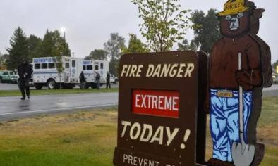
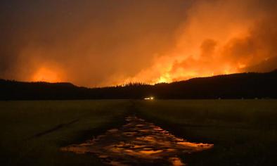
A massive and intense heat dome has spread over the northern Plains and mountain West, sucking moisture out of the soil, and may persist for weeks. The scorching heat and absence of rain have spurred a rapidly intensifying drought that is decimating the region’s wheat crop.
Temperatures in Montana, Wyoming and the Dakotas surged into the 90s and 100s on Wednesday, about 15 to 20 degrees above normal. Forecast models predict the same general weather pattern that supported this heat to persist up to two more weeks.
The pattern is characterized by a sprawling heat dome or area of high pressure at high altitudes over the western third of the nation — resulting in simmering conditions not just in the Dakotas but all over the West. On Wednesday, Salt Lake City hit 105 degrees, its seventh-hottest reading recorded. It is expanding into the desert Southwest, resulting in searing 120-plus-degree heat in Death Valley and prolonging a 21-day streak of temperatures of at least 105 degrees in Las Vegas.
...
The dry pattern commenced in the spring but intensified in recent weeks as the western heat dome settled in. Glasgow, Mont., had its record-driest April-through-June period.
The suddenness of the drought’s onset and expansion has been remarkable.
In early May, the U.S. Drought Monitor classified neither the Dakotas nor Montana in a drought. Eight weeks later, drought covered 47 percent of North Dakota, 34 percent of South Dakota, and much of the eastern third of Montana — and its intensity is severe to extreme in many areas.
Related Content


