Thousands Urged to Evacuate Iowa Floods

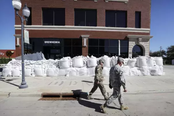
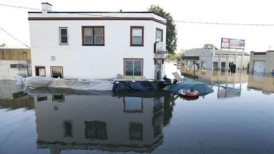
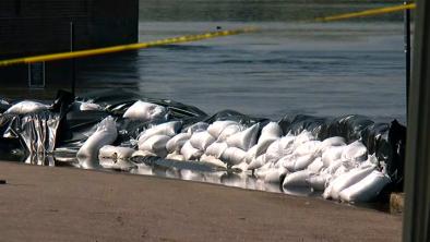
Water from the Cedar River will overspread a large swath of Cedar Rapids, Iowa’s second-largest city, on Tuesday. Fed by massive rains over northeast Iowa during the past week, the flood crest of 23 feet projected on Monday afternoon for Tuesday afternoon would be the second-worst in city history--topped only by the 31 feet during the catastrophic flood of June 2008, and 3 feet higher than all other crests. Officials have strongly encouraged residents of about 5000 homes in central Cedar Rapids to evacuate ahead of the flood crest.
The floods of 2008 eclipsed anything on record across eastern Iowa, particularly in Cedar Rapids and Iowa City. The estimated cost of that flood reached $10 billion, with more than 5000 homes and nearly 1000 business damaged. This time, the heaviest rains (more than 10” in 24 hours last Wednesday) have been focused across the Cedar River basin north of Cedar Rapids, which is helping to keep the most serious flooding within that corridor, including Cedar Falls and Waterloo...
September is not when Iowans are usually keeping an eye on flood risk. In fact, this is the first time on record that a flood of any magnitude (at least 12 feet) has been measured on the Cedar River at Cedar Rapids. Heavy rains are far more common during spring and summer across eastern Iowa. Climate change has been shown to exacerbate the intensity of the heaviest rainfall events in the United States and many other parts of the world, as warmer temperatures allow more moisture to evaporate into the atmosphere. Research led by Eugene Takle (Iowa State University) found that eastern Iowa has already seen a measurable rise in the number of days with rainfall that is typically too heavy for soils to absorb (1.25” in a 24-hour period). “We can logically conclude that enhanced streamflow and the potential for flooding are also rising,” Takle wrote. His research has also found a shift away from spring floods (as warmer spring temperatures allow for earlier snowmelt) and toward late-summer events. Storms in late summer tend to be oriented along northwest-to-southeast trajectories, which aligns them with river basins in eastern Iowa. “This seems to be the new norm for seasonal flood occurrence in the state,” noted Takle
Related Content


