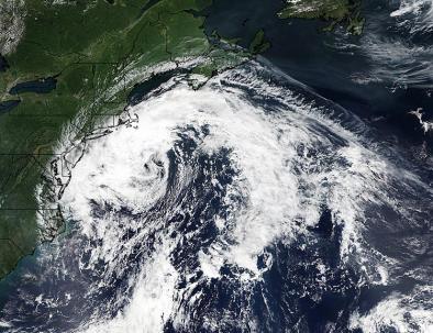
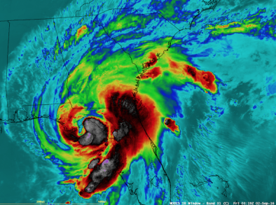
Gulf of Mexico's Hermine Finally Gets its Name
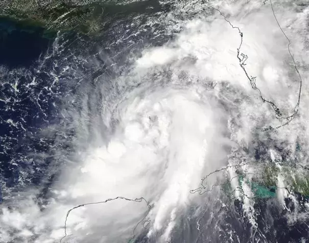
Tropical Depression Nine in the Gulf of Mexico finally got its act together enough to deserve a name, the NOAA Hurricane Hunters discovered on Wednesday afternoon. They found top sustained winds of 45 mph in Tropical Storm Hermine, ending a week-long drama that left us all wondering if someone had cast a “hold” spell on the storm...
Late Wednesday afternoon, the strong winds from Hermine were already creating storm surge heights over 1’ along the entire Gulf Coast from New Orleans, Louisiana to Naples, Florida. The maximum surge was just over 2’ at Cedar Key, Florida on Wednesday afternoon...
SSTs will be a very warm 30 - 30.5°C (86 - 87°F), and mid-level relative humidity was predicted to be a reasonably moist 65%. Our three best intensity models--the HWRF, DSHIPS and LGEM models--were in good agreement with their latest runs available Wednesday afternoon, with landfall intensities for Hermine ranging from 75 - 80 mph—Category 1 hurricane strength. NHC is going with a forecast of a high-end 70 mph tropical storm at landfall. The Gulf Coast of Florida is highly vulnerable to large storm surges, due to the extensive stretch of shallow continental shelf waters offshore that extend up to 90 miles from the coast...
Near record-warm ocean temperatures in the Gulf of Mexico are evaporating near-record amounts of water vapor into the atmosphere for Hermine to feed off of. At 8 am EDT Wednesday, the upper-air balloon sounding at Tampa, Florida measured 2.5” of total precipitable water (TPW)—the amount of water that would result if one condensed all the water vapor in a column above and precipitated it out. This value ranked in the upper 1% of all TPW measurements taken at the site since 1948. According to the National Weather Service, Tampa’s all-time greatest precipitable water sounding was 2.85” on September 6, 2004, when Hurricane Frances was crossing Florida
Related Content
