Where Large Wildfires Are Most Common in the U.S.

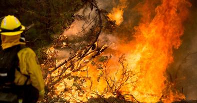
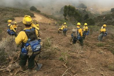
The potential for wildfires in the West is a big concern every summer. This is particularly the case this year, given the drought conditions in the West and because this is when the dry season typically ramps up.
According to the United States Geological Survey (USGS) map above, the number of large wildfires – classified as 300 acres or bigger – was the highest in the West from 1994 to 2013.
Every state in the West, except Wyoming, has at least one county that is in the category with the highest wildfire frequency (between 101 and 1,308 fires). When looking at the second-highest wildfire frequency category (21 to 100 fires), you can see that the Western states stand out with a large number of counties included.
However, we should note that many of the counties in the West are much larger than counties in the states east of the Rockies. This gives some Western state counties the ability to have higher wildfire counts, given their larger geographical coverage.
East of the Rockies, parts of the Plains and South saw the highest frequency of wildfires during the 1994-2013 period. South Dakota, Oklahoma, Texas, Louisiana and Florida all had at least one county in the highest frequency category.
Outside of the Lower 48 states, central Alaska had the counties with the highest wildfire frequency in the US
Related Content


