This Week’s Blizzard Will Be One of the Biggest on Record

Meteorologists are running out of words to describe the late-season snowstorm expected to bring more than a foot of snow and winds stronger than a tropical storm.
...
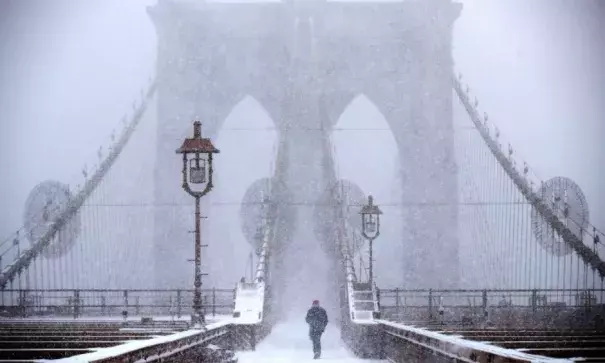
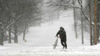
One of the biggest March snowstorms on record appears poised to strike the East Coast on Monday night, packing strong winds and snow drifts measured in feet. It’s as if Mother Nature decided to make up for lost time and pack an entire season’s worth of winter into a single day.
A blizzard warning is now in effect for New York City and surrounding parts of New Jersey, Connecticut, and Long Island—meaning white-out conditions and tropical-storm-force winds are likely. The latest National Weather Service forecasts show a wide section of the Northeast, from Maryland to Maine, on tap for more than a foot of snow. Snowflakes should start Monday afternoon around Washington, D.C. and reach their peak mid-morning on Tuesday in New York City and taper off by Tuesday evening across New England. The storm will be a relatively fast-mover, with most of its energy concentrated into a period of about nine hours of heavy snow and strong winds at each location.
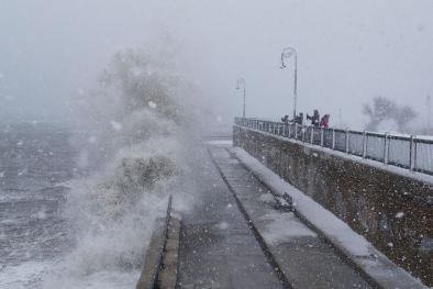
Besides heavy snow and strong winds gusting to nearly hurricane-force in parts of Massachusetts, the storm may bring at least moderate coastal flooding to parts of the New Jersey shore. The result will be a snow day for sure on Tuesday with schools and workplaces closed—the National Weather Service is warning that “several roads may become impassable” and those that travel should bring along a “winter survival kit.” With leaves already out due to the early spring, there’s also a risk of widespread power outages.
...
From a weather nerd-out standpoint, the storm is close to perfection. The primary ingredients—a cold pulse from the Great Lakes and a low-pressure system forming off the Carolinas—will pull in subtropical moisture from a record-warm Gulf Stream right offshore. The storm will rapidly strengthen—in the process becoming a meteorological “bomb” (a technical term for rapidly strengthening low-pressure centers)—and travel over the sweet spot to maximize snowfall for New York City and New England. That’s forced meteorologists to add new colors to their weather maps, and marvel at an “absolute crusher” that will be “puking snow.” An objective pattern-matching algorithm has compared this storm to some of the all-time strongest, too, including the Valentine’s Day 2007 blizzard and 1993’s “Storm of the Century.”
...
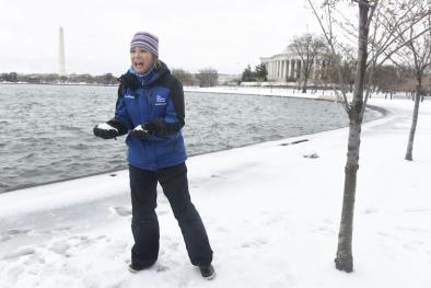
A bit of uncertainty remains—especially for Washington, D.C. and Boston—where warmer air could mix in and convert snow into sleet or slush before it hits the ground. But for many parts of the Northeast, the storm is on track to be one for the record books.
Related Content


