A Striking New View of the Pacific “Blob”

In late 2013, scientists began to notice something strange happening in the Gulf of Alaska: The temperature of the sea surface was much warmer than usual.
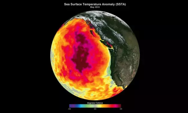
Then in early 2014, warmer waters also started appearing about 125 miles off the West Coast of the United States. By the fall of that year, the warm area extended all the way to the coast. The warming persisted along the California coast and other parts of the Pacific during most of 2015 and into 2016. In some places temperatures were more than 10°F above average.
As scientists struggled to figure out what was going on, they began calling the mass of warm water “the Blob.”
Now a team of scientists has mapped the life story of the Blob in unprecedented detail—from space. Using data from multiple satellites from several countries, the scientists traced the changes in temperature and wind on the Pacific Ocean’s surface from 2014 to 2016. Their findings, along with the image of the Blob above, were published in the January issue of Geophysical Research Letters.
“This phenomenon is something new,” says the study’s lead author, Chelle Gentemann, a physical geographer at Earth and Space Research in Seattle. Gentemann compared the Blob’s temperatures to sea-surface temperatures dating back to 1910, looking for similar events.
“From that entire record this event is unprecedented in magnitude and duration,” she says. “There's just nothing like it in our historical record.”
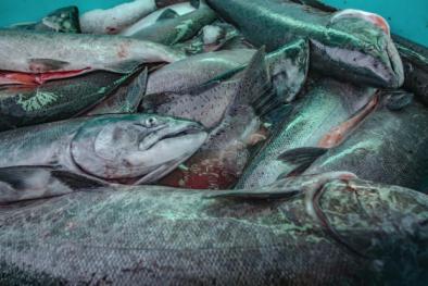
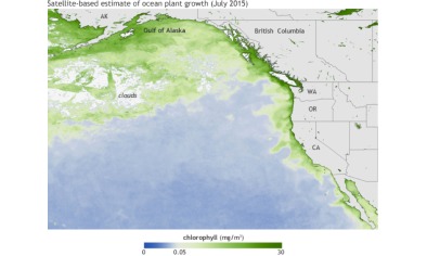
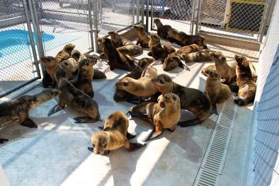
The new detailed map of the Blob may help biologists understand why unusual problems afflicted sea life from 2013 to 2016. Those include unexpected die-offs of California sea lions, Guadalupe fur seals, common murres, and Cassin’s auklets, and a toxic algal bloom that stretched along the entire West Coast of the United States (shown in the satellite image below)—a phenomenon that led to delays and partially close recreational and commercial fishing seasons for sardines, anchovies, crabs, and razor clams.
Related Content


