Roslyn Slams Mexican Coast After Intensifying Rapidly

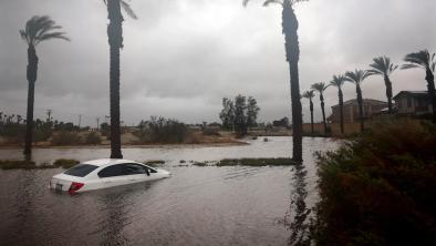
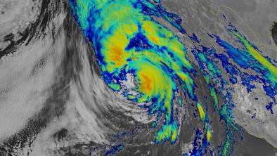
Hurricane Roslyn slammed into Mexico's Pacific coast Sunday morning as a Category 3 storm with sustained winds topping out at 120 mph. The storm, which made landfall in a sparsely populated part of Nayarit, is responsible for the deaths of at least two people, with total rainfall of as much as 10 inches, threatening flash flooding and landslides in the rugged terrain. Some 150,000 people lost power and as many as 90% of residents of San Blas and Santiago Ixcuintla were displaced from their homes. Though dissipating rapidly once over land, the storm exploded Friday and Saturday with maximum sustained wind speeds increasing by 60 mph in just 24 hours. (The official threshold for "rapid intensification" is 35 mph in 24 hours.) Experts have linked climate change to the increase in storms' rapid intensification.
(Reuters, Washington Post $, CNN, Yale Climate Connections, Axios, New York Times $, AP, CBS)
(Climate Signals background: Hurricanes)
To receive climate stories like this in your inbox daily click here to sign up for the Hot News Newsletter from Climate Nexus:
Related Content


