Northern California Reels From Second Round of Storms; Five Homeless People Rescued From Golf Course
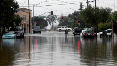
Northern California continues to reel from a potent atmospheric river event that brought evacuation orders, water rescues, dangerous flooding and mudslides.
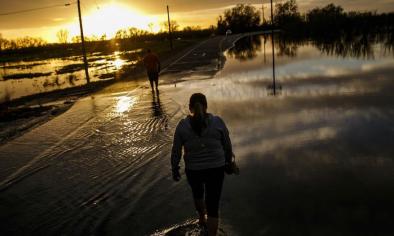
On Tuesday, five homeless people were rescued from the Los Lagos Golf Course in San Jose after a swollen creek flooded the area, reports the Associated Press.
The Mercury News reports that those rescued were apparently part of a homeless encampment along Coyote Creek.
The San Jose Fire Department initially received a report that as many as 20 people may have needed rescue.
...
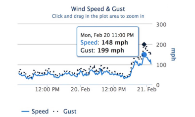
As the heavy rains began to taper off Tuesday morning, numerous creeks and rivers reached their capacity, prompting the evacuation of hundreds of homes. In the remote hamlet of Spring Valley, about 2,000 people were stranded in the community after two entrance roads washed away and mudslides closed the other, Clear Lake County Sheriff Brian Martin told the Associated Press.
...
With Clear Lake at least a foot above flood stage, about 100 homes in two mobile home parks and nearby streets in Lake County were ordered evacuated, Martin said.
...
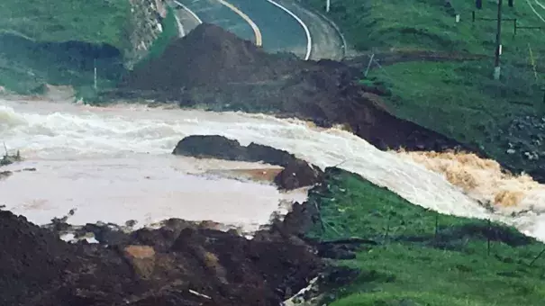
In the Sierras, a portion of Highway 50 in El Dorado County in the Sierras is in danger of collapsing after the shoulder gave way following the storms, reports the Associated Press.
According to the California Highway Patrol, the shoulder of westbound Highway 50, east of Bridal Veil Falls, collapsed and the No. 2 lane has begun to buckle.
...
For the first time in 20 years, the spillway gates of the Don Pedro Reservoir were opened Monday as the heavy rain pounded northern California, with some areas receiving more than 8 inches in a 48-hour period.
Authorities in Stanislaus County are going door to door to warn residents living downstream from the dam along the Tuolumne river of possible flooding.
The Stanislaus Consolidated Fire Protection District told KCRA.com thatthe outflows from the reservoir were between 18,000 and 20,000 cubic feet per second as of 3 p.m. Monday.
The reservoir was at 825 feet in elevation when the releases began, also according to KCRA. Water flowing from the reservoir will go down the spillway, take a left and follow a channel that was cut out in 1997 before rejoining the Tuolumne River about a mile downstream. The spillway, which hasn't been used since 1997, will be open for at least four days, authorities said.
Related Content
