In the coastal communities near the Bering Strait, a winter unlike the rest

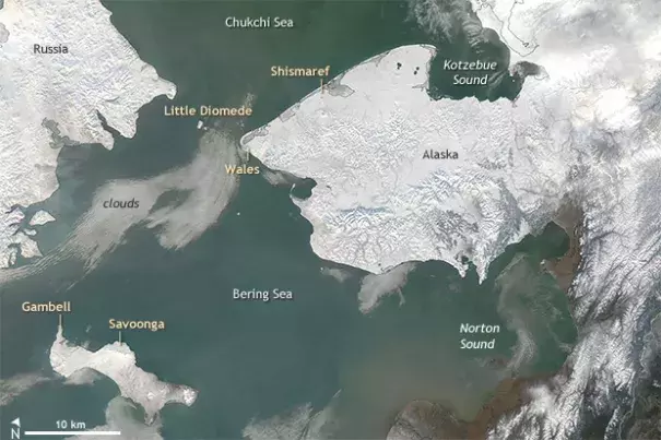
Typically, sea ice forms in protected waters of the southern Chukchi and northern Bering seas during October. Freeze-up in 2017/18 was exceptionally late, and in the Bering Strait, ice moved in and out of the region repeatedly. Communities were significantly impacted.
...
Throughout the Bering Strait there was a lack of, or late development of, shorefast ice. With little to no sea ice, communities had limited protection from the ocean. Flooding, loss of power, damage to infrastructure, and build-up of ice on shore occurred during storms.
...
There are two main reasons why so little ice formed in the Bering Sea this winter. First, the ocean was warmer than usual. Second, there were frequent storms throughout the winter.
Temperature
Air and water temperatures in the Bering Sea were warmer than usual this winter, which has also been the case for the past four years. These conditions have contributed to the Arctic experiencing, during those four winters, the lowest winter sea ice extents ever recorded.
Why is the Bering Sea warmer? Open water absorbs heat more than ice-covered water. Less sea ice means warmer ocean water, and warmer ocean water generally means less and thinner sea ice. Also, warmer water recently traveled into the Bering Sea from the South, driven by wind patterns that cause North Pacific waters to heat up strongly.
Storminess
In addition to higher ocean temperatures, there were frequent storms. From December to February strong south winds were recorded at both the sea surface and mid-level in the atmosphere. In the Bering Sea, south winds are an indicator of storminess. Although the number of storms this winter did not hit a record, they occurred more often than normal.
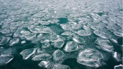
Because of these consistent storms, when ice formed it was quickly broken up and jumbled. This was particularly true in areas where thick sea ice was never able to develop.
Related Content


